

Where to Ride: Cycling Routes and Places We Ride
A curated guide to cycling routes, trails, and riding areas across the Washington DC region.

This page documents where we ride — a collection of cycling routes, trail systems, and riding areas explored through years of riding in and around the DC region. From mountain bike trails to road and gravel routes, these places reflect the rides that have shaped Best Rides DC guides, journals, and posters.
Many of these routes are documented in more detail through our ride journals and the route research behind our cycling guides.
Use the filters below to explore places based on riding style, location, or surface. These are not exhaustive listings, but places we return to often and continue to explore on the bike.
How to Use This Page
Routes can be filtered by riding style, surface, and location using the options above. Each listing links to ride notes, photos, or route details that provide additional context beyond the map or mileage.
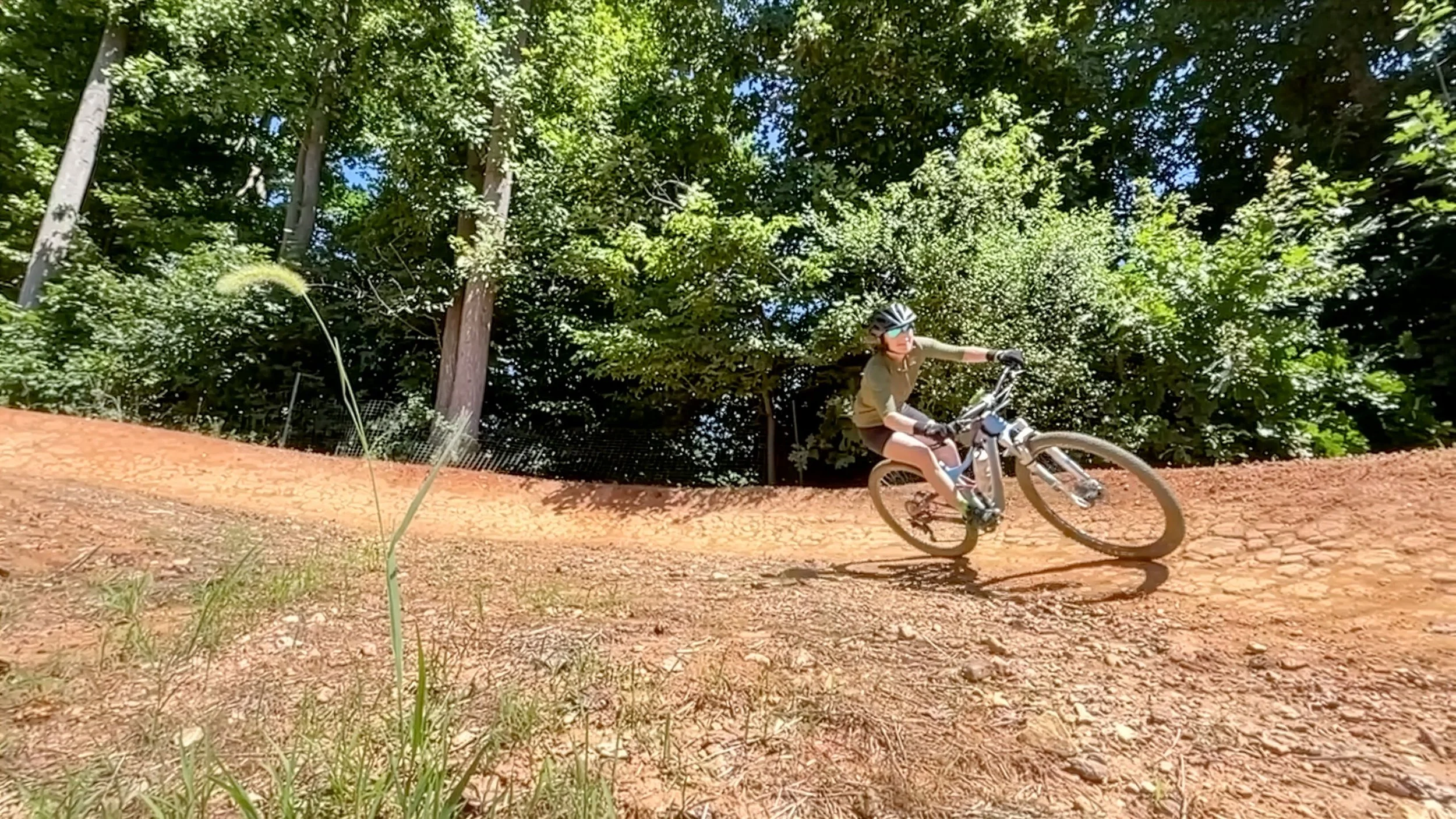
Wakefield Park

Quantico Marine Corps Base
Gambrill and the Shed

The Matthew Henson Trail

Stokesville Classics
Massanutten Western Slopes
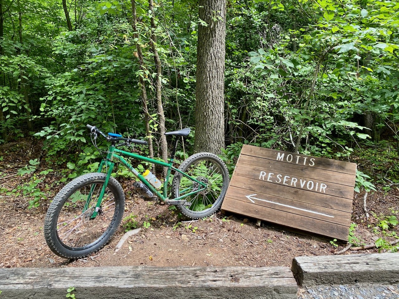
Motts Run Reservoir
Up Magic, Down Dowells

Moon & Hoo Doo Rocks
Upper Rock Creek
Carvins Cove
Andrew Leitch

The Promised Land
The Southern Traverse
Locust Shade Park
Meadowood Recreation Area
Prince William Forest Park Scenic Drive
Bacon Ridge
MoCo South
Loudoun County Gravel Roads
Laurel Hill

The National Mall

The Mount Vernon Trail & Fort Hunt
Patapsco Valley State Park

James River Park
Pocahontas State Park
Route Maps & Ride References
The Ride With GPS interactive map below provides access to many of the routes featured throughout Best Rides DC cycling guides, including rides from Best Bike Rides Washington DC, Best Easy Bike Rides Washington DC, Mountain Biking Virginia, and Mountain Biking the Washington DC / Baltimore Area. Visitors can zoom in and out, explore different areas, and select individual routes to view full details directly in Ride With GPS.
In addition to routes documented in the books, the map also includes rides that are not part of a published guide, offering additional inspiration for exploring where to ride in the region.
Some routes on the map are shared through my Ride With GPS club account, which I use to organize optional member-only routes, group rides, and events for those who want to follow along more closely.
All rides documented in the books include detailed directions to the starting point, accurate maps, and historical and regional context. Where relevant, guides also include information on access points, nearby food, lodging, and other details to help riders plan a successful outing.
Honorable mentions include routes that may not be fully documented in a guide but provide directions to the starting point and references that help riders create their own variations or extensions.
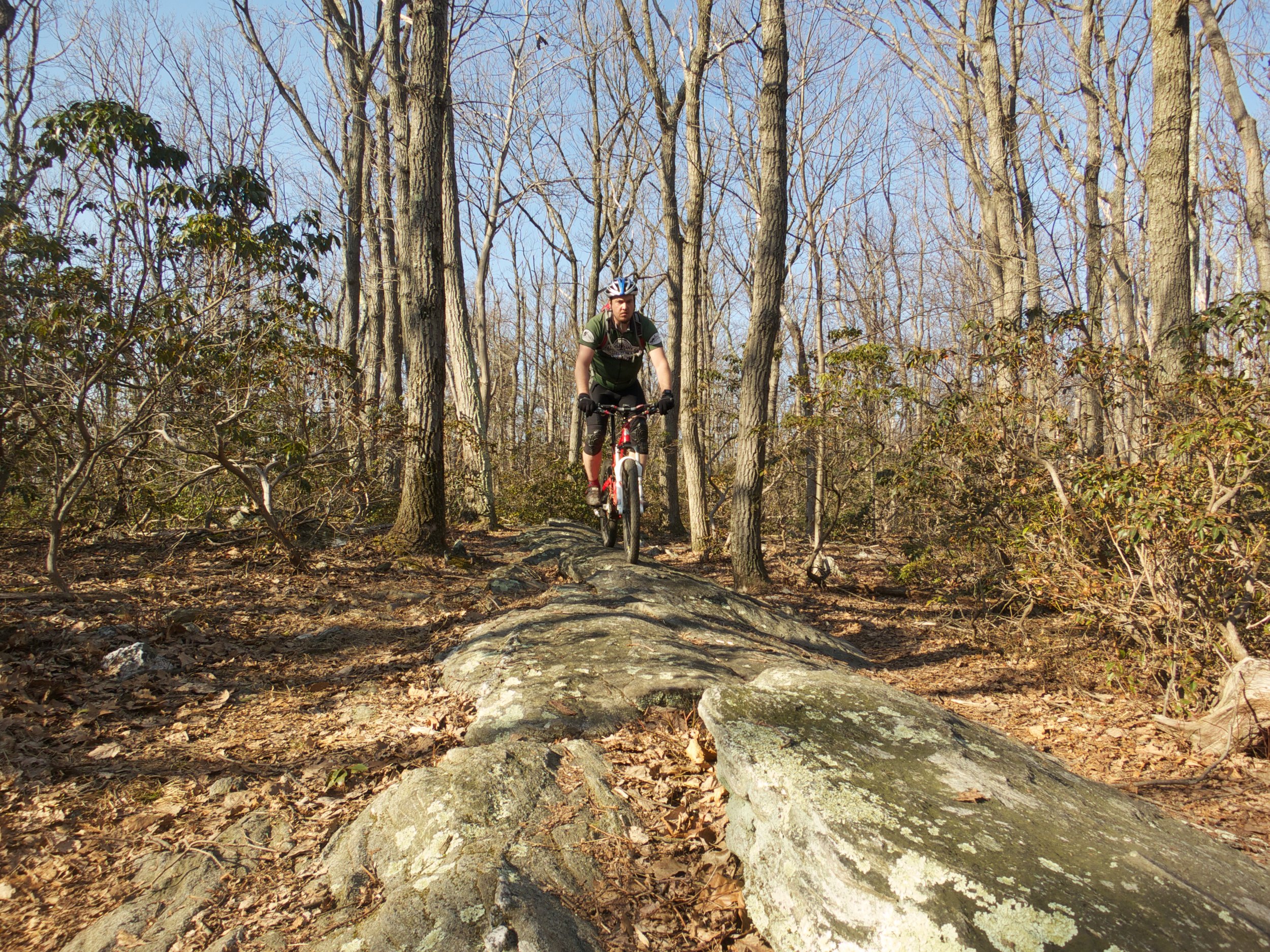
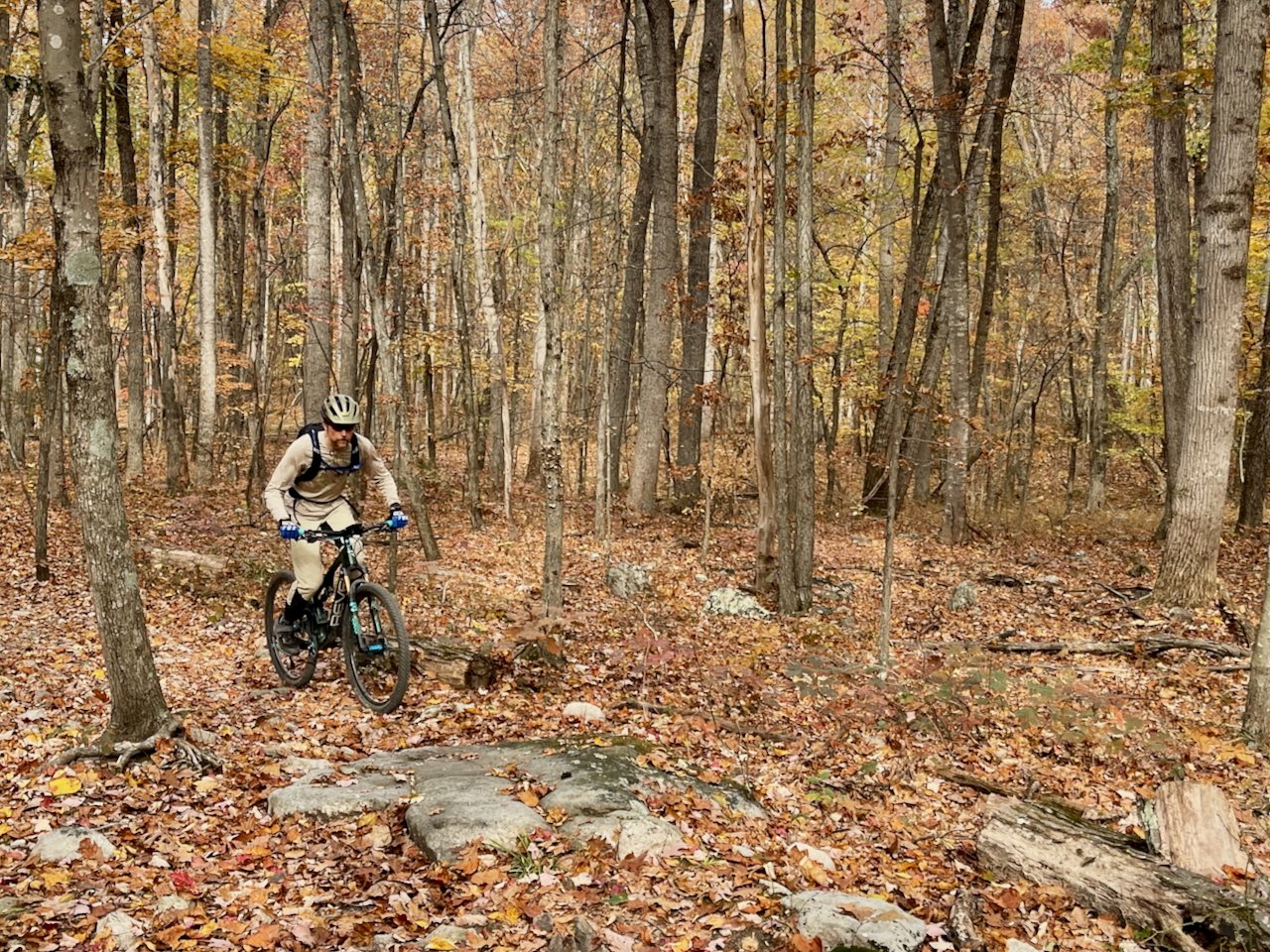
Recent Ride Reports
These recent ride reports provide on-the-bike context for many of the places listed above, capturing conditions, observations, and experiences from recent rides in the region.


Additional ride reports and cycling-specific writing can be found on the Best Rides DC blog.
A destination guide to mountain biking in Davis, West Virginia, featuring classic Canaan Valley trails like Moon Rocks, Plantation Trail, and Dobbin House.