Elizabeth Furnace: Introduction to the George Washington National Forest (GWNF)

By Michael Mullins
Michael Mullins has been riding the backcountry trails of the GWNF for years, usually in preparation for the challenging “Marji Gesick,” known as “the hardest single day race in America.” He is also the driving force behind the popular Quantico Epic.
Within a short drive of the Washington, D.C. area, you can find plenty of amazing, challenging, and incredibly beautiful trail systems. The Elizabeth Furnace (EF) Recreation Area just outside of Front Royal, VA definitely is one of those places. You will also find the famous Massanutten Ring with both the Eastern and Western ridgelines, that contains an abundance of routes, to include the infamous Figure Eight of Hate. For those looking to dip their toes in a backcountry experience without getting too far out, EF is probably a good place to start.
When looking for a good route, I personally look for trails with features that personally speak to me. The route needs to be challenging, both physically and technically. Typically, it should have a fair amount of climbing, and it should be visually interesting. Elizabeth Furnace certainly meets this criteria.
The two routes provided here will give you a really good taste of the challenges you’ll face, as well as give a glimpse into the beauty of the Elizabeth Furnace and Massanutten Ring.
Both routes start from the south end of the Signal Knob Trailhead parking area along Fort Valley Road, easily found on Google Maps. These rides can be demanding, so make sure your sled is in good mechanical condition and suspension and tires ready and fit for chunky rocky conditions. You’ll encounter multiple water crossings along Mudhole Gap and a few hike-a-bike sections. I highly recommend some good snacks, plenty of hydration and regular breaks. On warmer days, there is a dependable spring just past Mudhole Gap. Unless you are pushing the pace, you should expect to be out for at least 3.5 hours, 2.5 of those will be “moving time.”
The first route is a nice 13-mile loop that will give you a complete initiation to all the features of backcountry riding. Along the way you will experience climbing, technical rock gardens, fast chunky descents, mud, and water. The second route is a shorter 6-mile version that I use to dial in my suspension. This route is good for those who think they are ready for Elizabeth Furnace, but quickly realize backcountry riding is far more demanding than a spin around one of their local haunts.
-
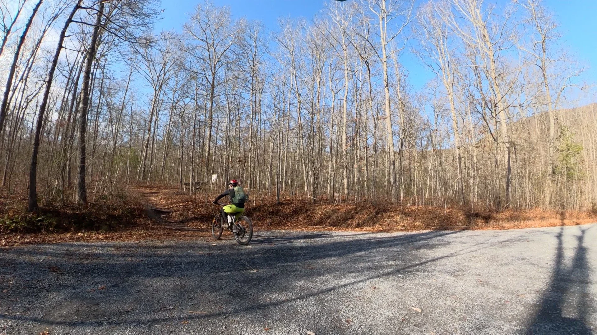
EF Trailhead
Both routes start from the southern end of the parking ot.
-
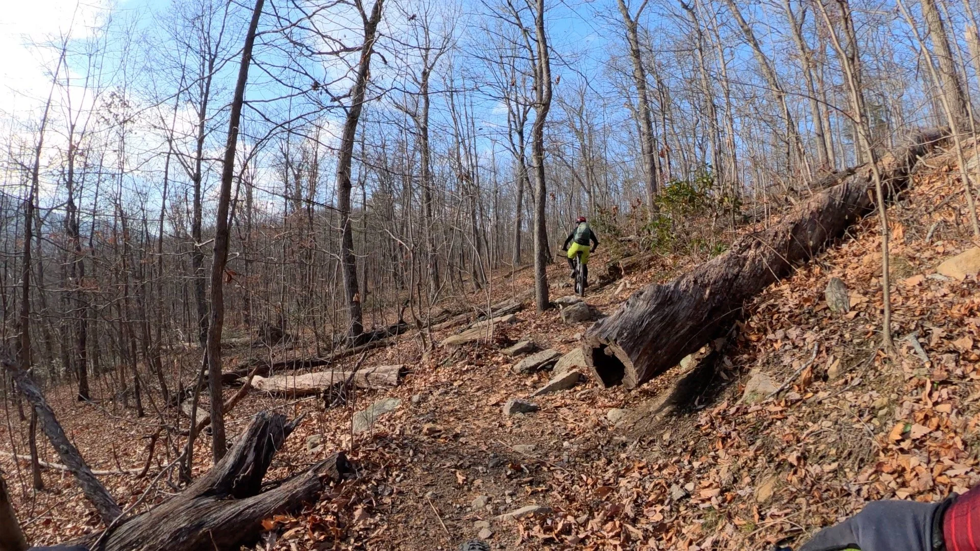
Ascent to Sidewinder
The climb to Sidewinder includes a few technical features.
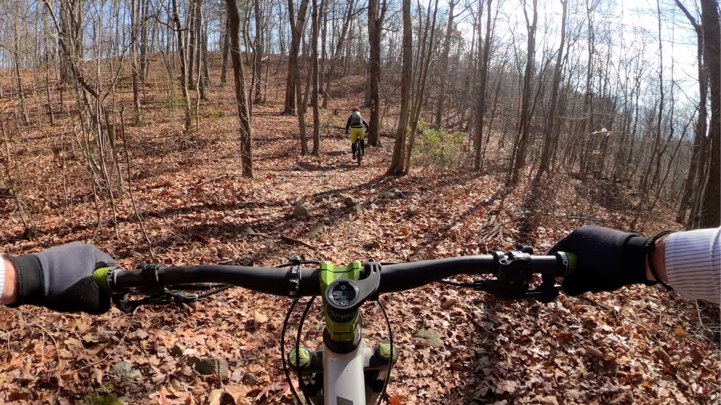
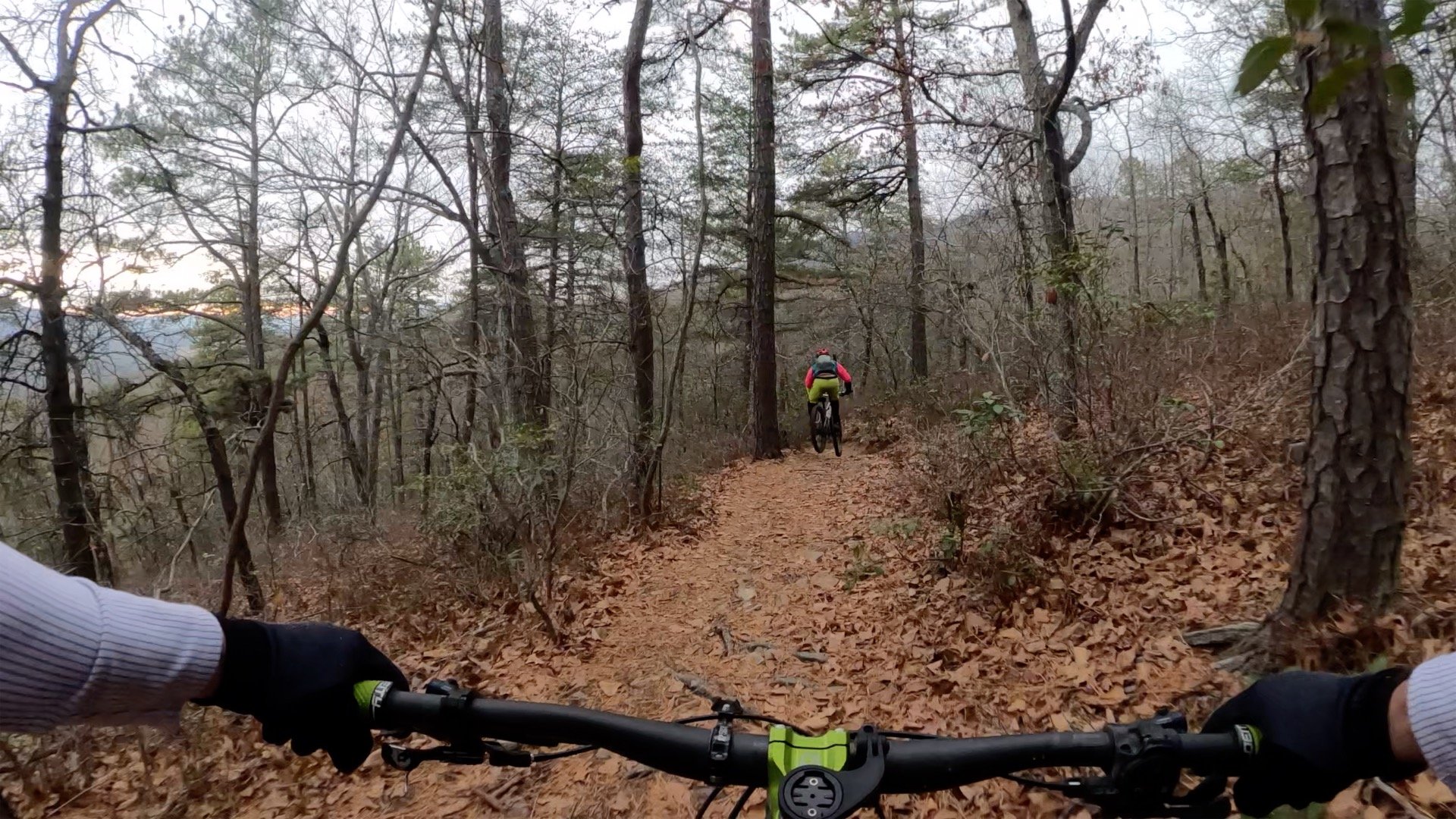
Both rides start from the southern end of the parking lot. Once ready, roll out onto the trail and continue left at the “T” intersection. You’ll ride slightly downhill parallel to Fort Valley Rd. Your ascent to Sidewinder, approximately 2 miles ahead, begins here! Along the way you will encounter several steep sections with a few technical features, including several rock gardens to keep you occupied. While challenging, most can be cleared, if you can’t, make it a goal for your next adventure. For the most part, you will be climbing. For those not accustomed to climbing, you will quickly begin to question your choices, but remind yourself that, “Mike said it was awesome!” There is no “free trail” in EF, this and other GWNF rides demand you work to earn the sweet regards, including challenging descents and incredible views. The singletrack is old and narrow with moss borders. It is a visual feast if you need something to distract your mind and your racing cardio.
Approximately 1.2 miles in, when you reach the big rock garden that drops you into a creek bed crossing, you will find a trail branch to the left (Simon’s Graveyard Trail). This is the return leg of the short loop. Regardless of the chosen route, continue climbing to the right for just under one mile toward Sidewinder along the Tuscarora Bear Wallow Trail.
Sidewinder is well marked. This is perhaps my favorite trail to get my mind and suspension dialed. The top half is loose and steep in parts. Along the middle you’ll hit a nice kicker and then a sweet twisty section before dropping through a couple switchbacks, before finally climbing out to the gravel road, Mudhole Gap Trail. Sidewinder is a blast, but if you don’t ride this type of trail often, proceed with caution and be ready for the unexpected as you blast through, hopefully with a giant grin on your face. If you think you’re over your head, now is the time to bail and finish along the short loop.
If you choose to do the short loop, turn left and follow the fire road for approximately 1 mile to Simon’s Graveyard trail to the left, and then back to the lot.
If you opt to continue on the longer route, turn right along the gravel road and continue to climb.
-
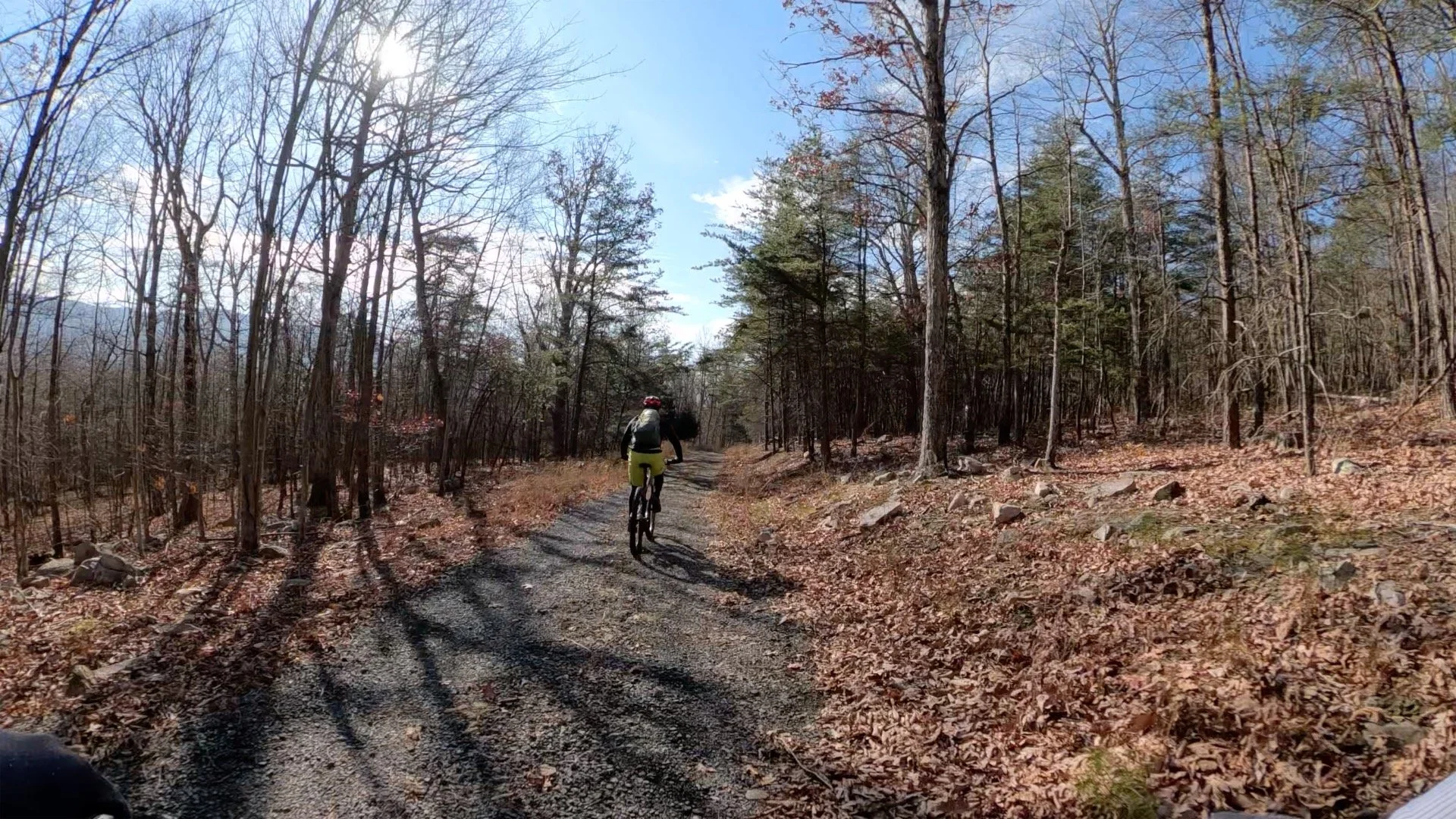
Mudhole Gap Gravel
The climb up to Mudhole Gap is along a gradual gravel road ascent.
-
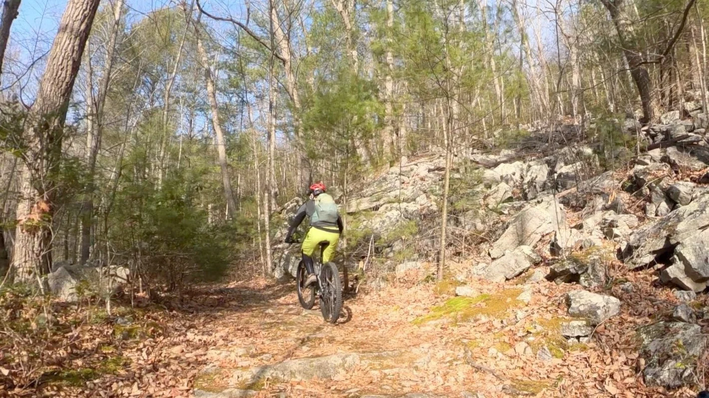
Mudhole Gap Single Track
You’ll know you’ve reached Mudhole Gap when the gravel road turns to singletrack.
You will know you’ve reached Mudhole Gap when the gravel road disappears into the narrow singletrack through the forest. This is a fun little ripper down to the proper Mudhole Gap trail. Just remember to stay right, to avoid getting sucked onto the drainage route. At the “T” intersection, continue right onto Mudhole Gap trail. Mudhole Gap earned that name for good reason: there are four water crossings, and the last two are particularly muddy. Depending on your skill and the current water level, you can typically ride the first two. I find the third and fourth to be far more challenging, and often find myself hiking across them. The final crossing is a shallow affair, and exits up into a camping/parking area, which leads you back onto fire road.
This portion of Mudhole Gap is also one of the most visually appealing sections of the route. Moss covered rocks and the nice flowing creeks provide a visual and audio tapestry to distract your effort.
Once you cross Mudhole Gap, you will turn right onto the fire road (Strasburg Reservoir Road) to head north. Within a quarter mile you will pass a spring on the left. It is hard to miss the flow from the white PVC pipe. I have never seen this spring not flowing, and have ever had any issues drinking the unfiltered water. If necessary, fill up! There is still some hard work ahead.
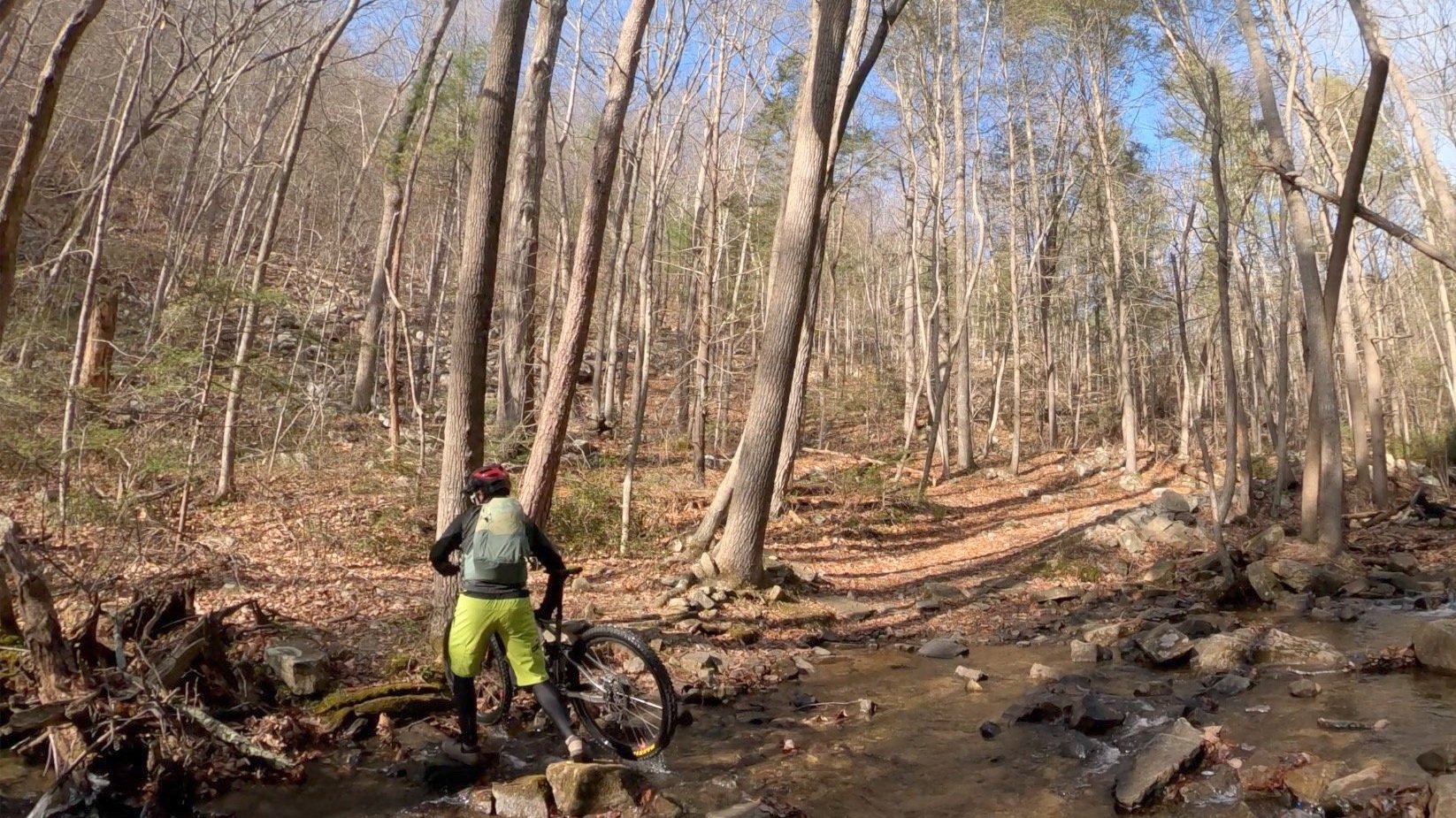
There are four water crossings at Mudhole Gap. I find the third and fourth to be far more challenging, and often find myself hiking across them.
Continue following the forest road for a couple miles past the reservoir on the left until you reach Bear Wallow on the right. The trail will be marked with a trail kiosk and bench. What follows is probably the most demanding section of the day. For most this is a significant hike-a-bike section. If you have gas in the tank, I encourage you to give it a try in the saddle. There are several interesting rock sections, so also take a moment to look around. When you reach the top, there will be a sign marking the intersection of Maneka Peak trail and Bear Wallow. This is a good place to settle in for a snack, gather your wits, and throw on some pads if you have them.
The upper section of bear wallow rolls over and around several larger rock formations. I have yet to put the pieces together for a successful roll, so expect some hike-a-bike. The next section of upper Bear Wallow has a healthy mix of chunky, short steep sections, and several kickers to keep you honest. The trail is twisty and tight and changes personality quickly, so mind your speed and enjoy! As always, the views can be amazing. Divert your gaze from the trail at your own risk.
As you continue your descent you will hit several switchbacks and more rocky sections that will demand respect. Ride within your limits, and stop and session when necessary (if you still have the legs). At approximately 11 miles, and not long after passing the jagged rock section that requires a tad more skill than I seem to muster, you will approach Sidewinder from the opposite direction. Here you will begin the final descent toward Fort Valley Road, and end up where you started the ride.
Bear Wallow Descent
-
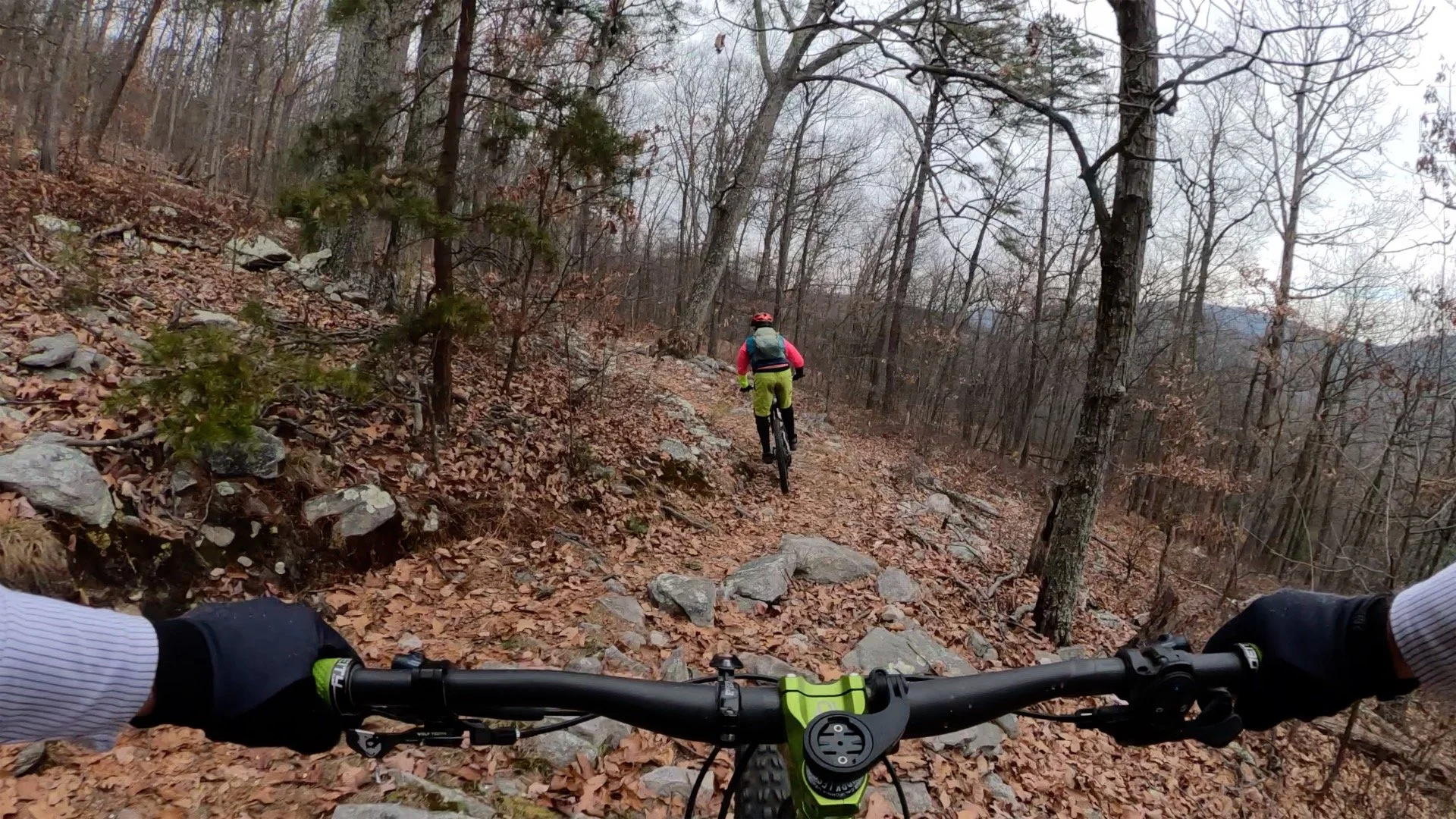
The upper section of Bear Wallow rolls over several rock formations.
-

The upper section of Bear Wallow has a healthy mix of “chunk”.
-

The switchbacks and rock gardens along the descent demand respect.
-

The trail is twisty and tight and changes personality quickly.
While I think this entire route is amazing, the final descent from just above Sidewinder, is a blast. It trends down and allows you to build up some good speed as you careen down the trail and over features. It is tight with good exposure and you can really enjoy some flow. Try to take in this beautiful section as you descend. Be cognizant of the fact that when you fly down the final section, a sharp left turn with a short kicker awaits you. When you hit this, the parking lot is near.
Regardless of the loop chosen, you have now survived your first Elizabeth Furnace adventure! If you are a back country junkie like me, you will be back!
